|
Cape Cod Rail Trail
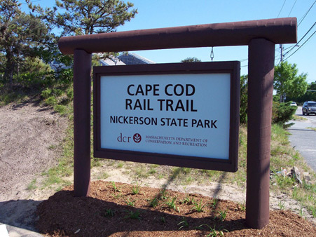
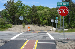
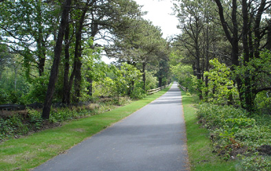
The Cape Cod Rail Trail follows an old railroad line for 22 miles, starting in Dennis and traveling through Harwich, Brewster, Orleans, and Eastham, before ending up in Wellfleet. It is a paved surface, with very few hills making it an easy-going ride (or walk). Its automobile crossings are very well marked, making it safe for cyclists. The trail has a wide unpaved shoulder on one side to accommodate horseback riding, walkers, and runners as well. There are many opportunities to get off the trail and visit a beach too. Food and water are also readily available and public restrooms can be found at Nickerson State Park, Salt Pond Visitors Center at Cape Cod National Seashore and the National Seashore Headquarters. If you do not have a bike or prefer to rent one, bike rentals are available at many points along the way. I usually bring my in-line skates as they are easier to pack. Make sure you also bring your camera and binoculars if you are into birding, as there are many great songbirds to see. I have seen orioles, mockingbirds, towhees, warblers and many other species. Click here for the Cape Cod Rail Trail Map
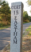
Railroad track extensions continued and by 1873, Old Colony had linked Boston with Cape Cod’s outermost point of Provincetown. The railroad was heavily used to carry visitors from New York and Connecticut, as well as other parts of Massachusetts. With the growing number of visitors, came train-loads of food and other supplies needed to meet their needs. Eventually, the railroad’s importance was soon surpassed by the automobile. Bridges to carry cars over Cape Cod Canal were opened in 1935, and in 1937, passenger service to the towns east of Dennis ended. Trains continued to haul freight until the mid-1960’s, but then the tracks were torn up. If you look carefully as you ride along the trail, you can still see some traces of the Cape’s rail days. There are pieces of the old station houses, still around in the woods. These nice trail signs, mark the towns along the way. The CCRT stands for "Cape Cod Rail Trail." The number represents the mile marker so you know how far you've traveled. 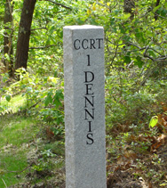
There are a lot of hotels, inns, and resorts along the Cape Cod Rail Trail so access to the trail is as easy as walking out of your room. Still, there is free parking for trail users at the following locations: Return to Cape Cod Insider Home
|
